
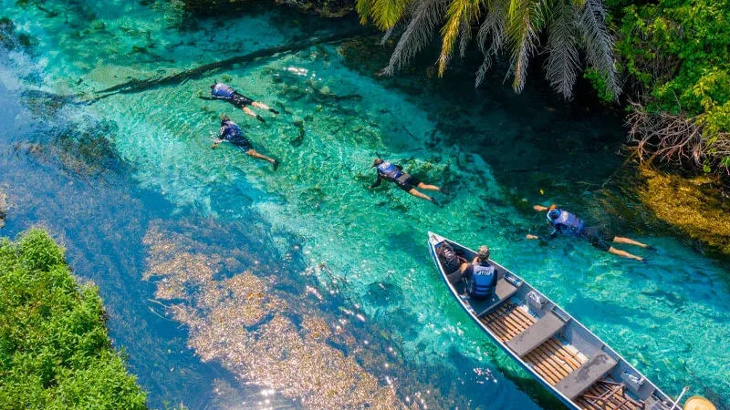
Bonito, MS travel guide
Bonito, in Mato Grosso do Sul, is the one destination in Brazil where you cannot improvise. Every attraction runs on a booking system with a daily cap, and the
The Serra da Bodoquena is the reason Bonito exists as a destination. The limestone of this range filters rainwater, forms the caves and makes the rivers run clear — and it links Bonito, Jardim, Bodoquena and Miranda into one system.
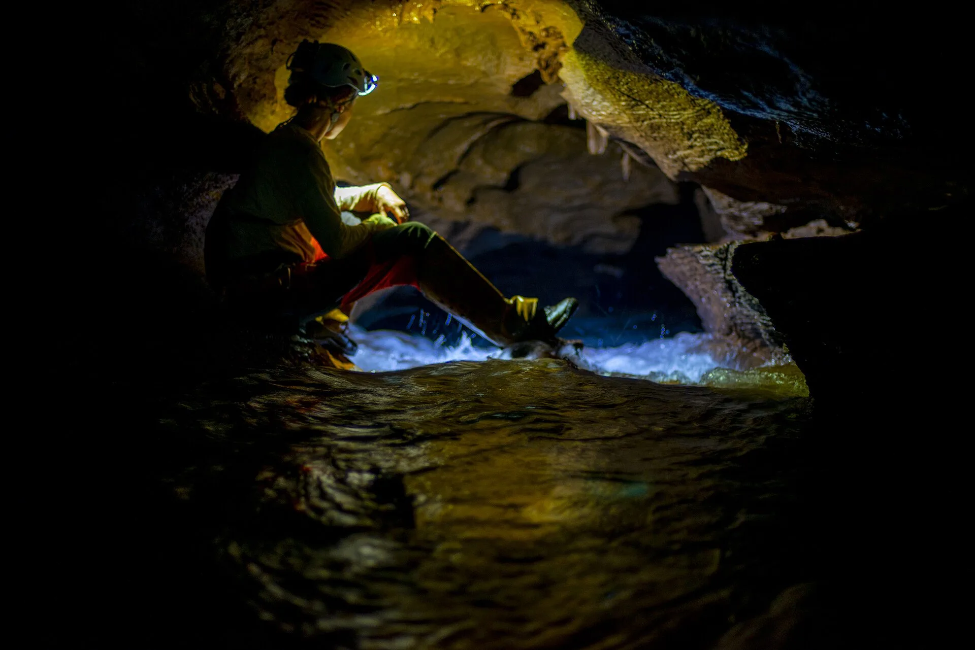
The Serra da Bodoquena is a set of limestone hills in south-western Mato Grosso do Sul, between the plateau and the Pantanal floodplain. It crosses several municipalities — Bonito, Jardim, Bodoquena, Miranda and Porto Murtinho among them — and it is the geological element that explains almost everything a visitor will see there.
The explanation is simple and applies across the region: rain soaks into the limestone, dissolves part of it and re-emerges in springs already filtered, with almost no sediment in suspension. The same process that cleans the water carves the caves and forms the sinkholes. A clear river, a cave and a hole in the ground are not three different attractions — they are three results of the same phenomenon.
That is why the water around Bonito is not clear by accident or by luck: it is a direct consequence of the rock underneath. And it is also why the conservation of riparian forest is taken so seriously there — bare soil is all it takes for sediment to start entering the river again.
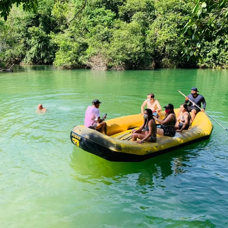
Part of the range is protected by a national park, a federal conservation unit created to preserve the remaining forest and the river system. One distinction confuses many visitors: most of the famous tourist attractions in the region — the Rio da Prata, the Rio Sucuri, the Blue Lake Cave, Boca da Onça — are on private properties around the park, not inside it.
As a conservation unit, the park has its own public-use rules, which change over time with its management plans. Before planning a visit to the protected area, check with the managing body what is open and under what conditions.
| Municipality | What it concentrates |
|---|---|
| Bonito | Most of the floats and caves, and the visitor infrastructure |
| Jardim | Rio da Prata, Buraco das Araras and Lagoa Misteriosa |
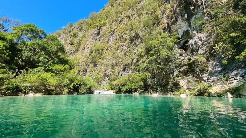
| Bodoquena | Boca da Onça, the canyons and access to the Rio Salobra |
| Miranda | The gateway to the Pantanal, with ranches and wildlife watching |
In practice visitors stay in Bonito and travel out to the other municipalities on day trips. That is why so many people think everything is "in Bonito": the infrastructure is there, the attractions are spread out.
From May to September the dry season delivers the clearest water and the firmest dirt roads — the most predictable period, and also the busiest. From December to March it rains more: the waterfalls gain volume, the forest is lush and the risk of a cloudy river or a cancelled activity rises.
Public use of a conservation unit follows its management plan and changes over time. Check with the managing body what is open on your travel dates.
Bonito has the visitor infrastructure and sits within day-trip distance of the attractions in the neighbouring municipalities.
Bonito, in Mato Grosso do Sul, is the one destination in Brazil where you cannot improvise. Every attraction runs on a booking system with a daily cap, and the
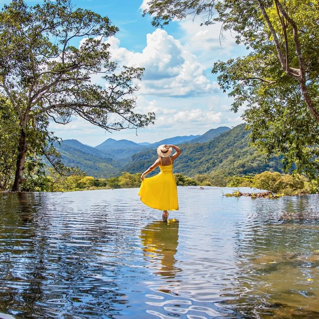
Boca da Onça gathers in a single valley the tallest waterfall in Mato Grosso do Sul, a trail passing several falls with pools to swim in, and an abseil of aroun
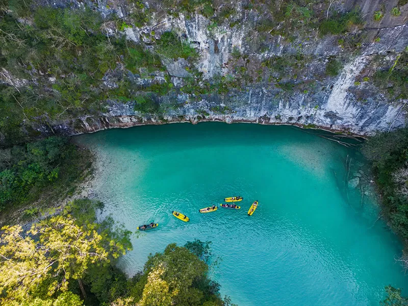
The Salobra Canyons are a stretch of the Rio Salobra hemmed in by limestone walls, covered by swimming, floating and wading. It is the most physical outing in t
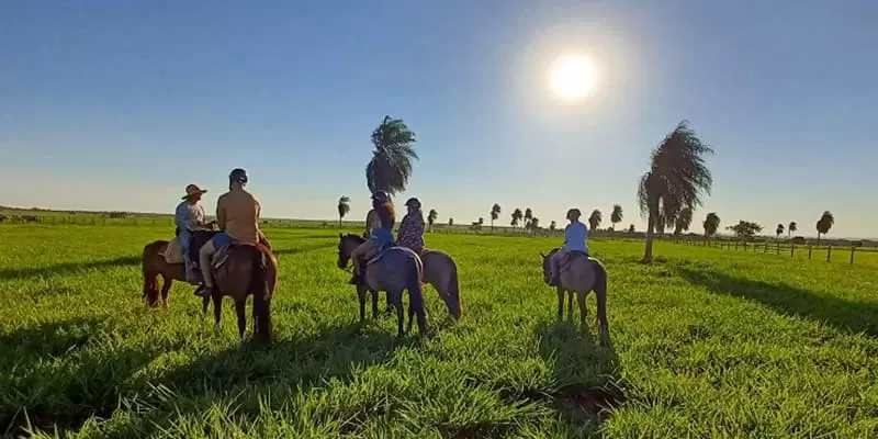
The Rio da Prata is the longest and most cinematic float in the Bonito region of Brazil. It starts with a forest trail, enters a spring-fed river and ends in a